What a Summer season we have had.
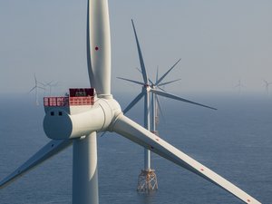
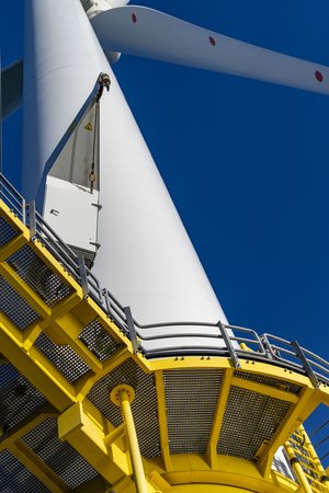
17 weeks of non stop Wind Energy from blade inspections to training material production along with PR & Marketing shoots .
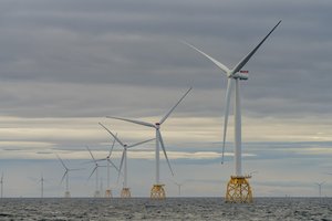
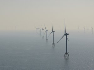
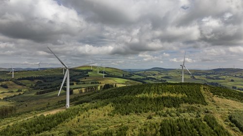
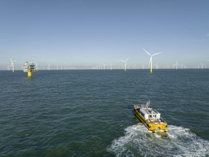
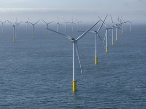
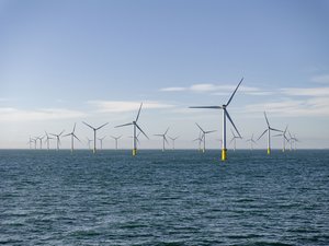
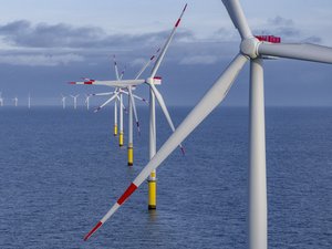
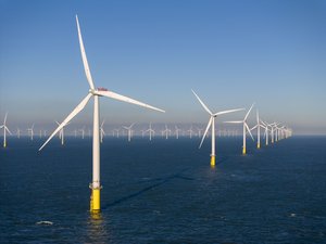
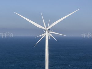
5 Onshore Wind Farms, 4 Offshore Wind Farms, 5 different countries, 3.7Tb of data, over 124,000 images, 720 Videos and finally over 5500 miles driven.
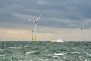
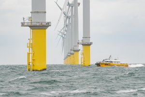
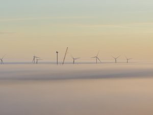
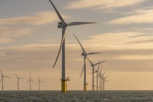
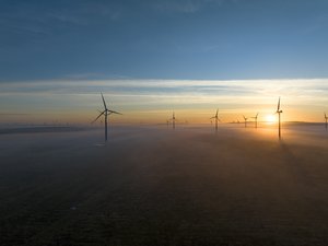
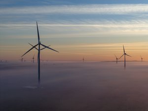
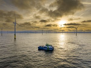
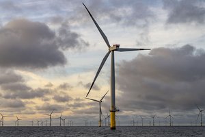
We have faced some particularly challenging and unpredictable weather conditions, ranging from frozen fingers in snowstorms in Scotland, to sunburnt necks under bright skies in Ireland, and all the way to thick fog in the Moray Firth to torrential rain showers in Germany. In addition to this, we have experienced an array of water conditions, including everything from completely flat and calm seas in the Humber Estuary to tumultuous and rough seas in the Thames Estuary.
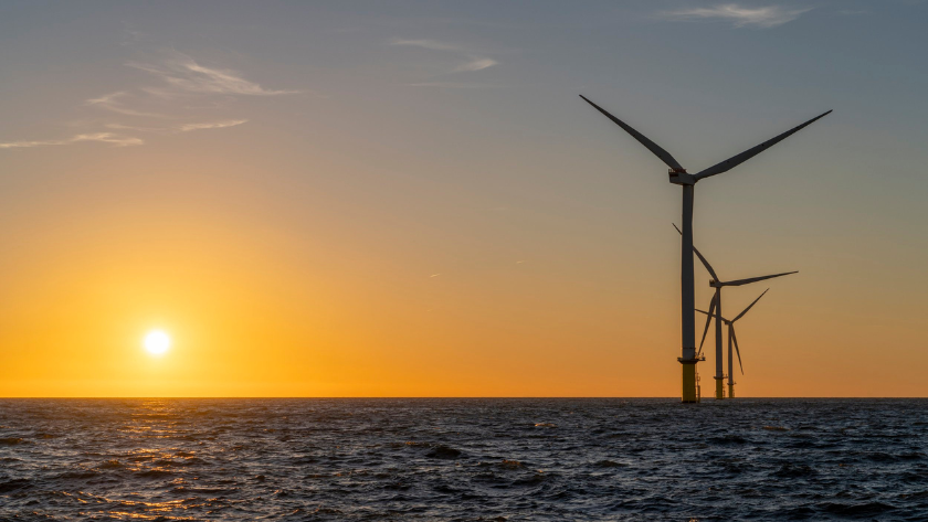
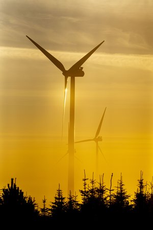
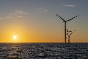
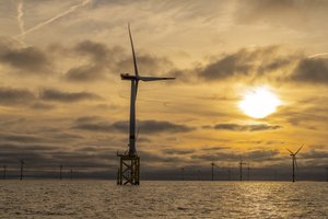
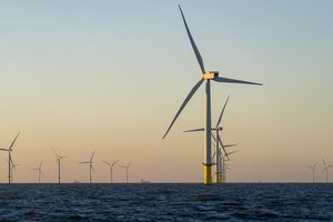
Throughout this journey, we have witnessed some truly glorious sunrises and breathtaking sunsets, alongside instances of thick fog, clear blue skies, and imposing storm-laden clouds. These have been among the most amazing and challenging projects we have undertaken to date, and it is not finished yet, as we still have seven more sites to complete before the next year’s maintenance schedule commences in April 2025.
However we are finally having a week of relaxation and some much needed Family time.
Are you looking to enhance your wind turbine project with advanced aerial solutions? At PB Aerial Imaging, we offer specialised drone services tailored to meet the unique demands of the renewable energy sector?
Our drone technology provides comprehensive aerial surveys, enabling you to map out sites with precision and efficiency. We use high-resolution imagery and thermal imaging to assess wind turbine structures and monitor their performance, ensuring optimal operational efficiency. This data can identify maintenance needs, reducing downtime and enhancing safety procedures.
Our experienced team understands the regulatory requirements and can assist with obtaining necessary permits, ensuring your project adheres to local guidelines. Moreover, we offer real-time data analysis, allowing you to make informed decisions quickly and effectively.
By integrating our drone services into your wind turbine project, you can save time, reduce costs, and mitigate risks associated with traditional surveying methods. Let us help you harness the power of aerial technology to drive your project to success.
Contact PB Aerial Imaging today to discuss how our services can support your objectives.

