Transforming Offshore Marketing with Drone Technology
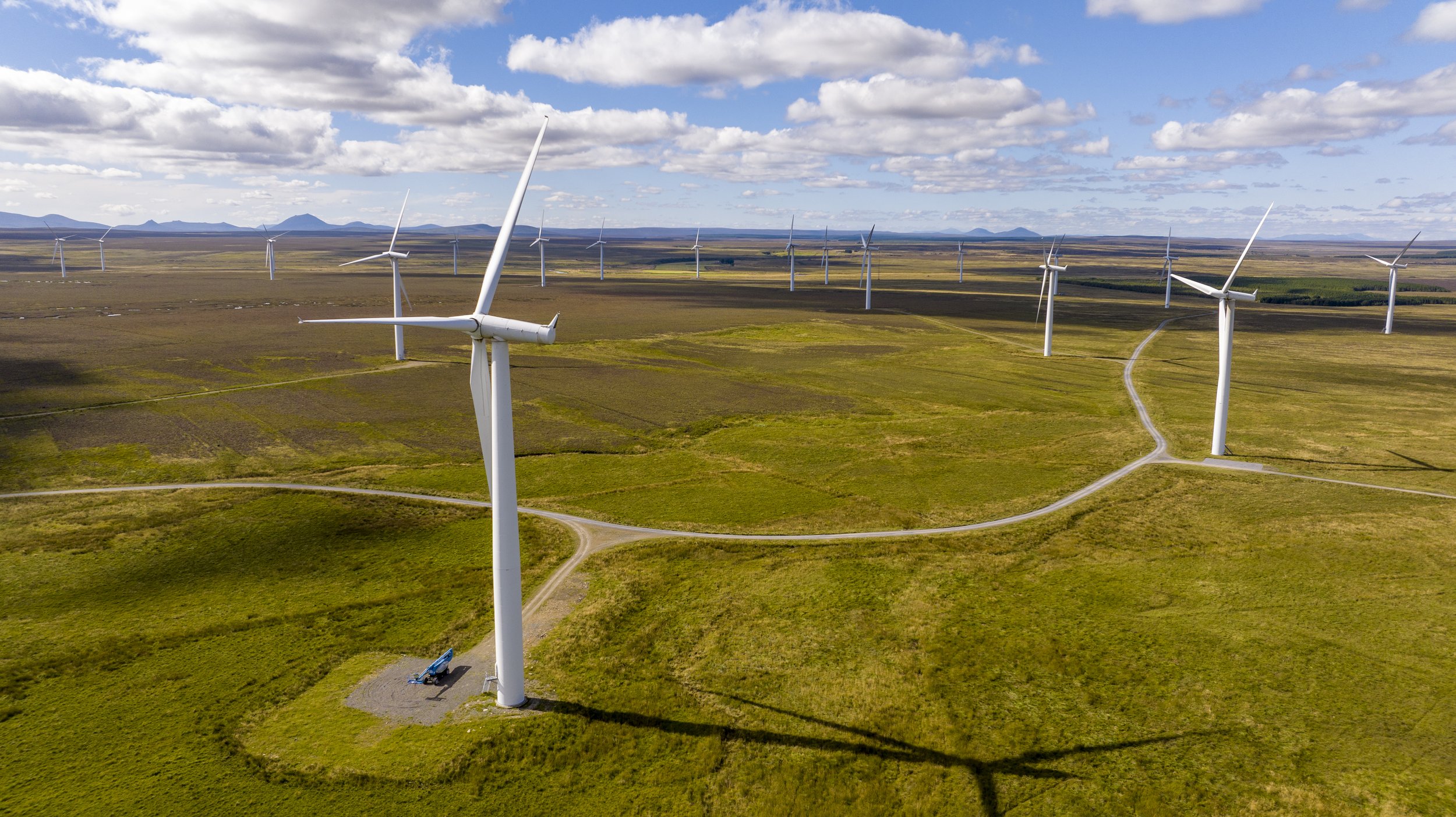
In this post, we’ll explore how drones are transforming the way offshore energy and oil & gas projects are photographed and filmed, and why PB Aerial Imaging, with its eight years of experience in offshore environments, is the industry leader in this space.
The Moray Coast
The Moray Coast: A brief Aerial overview of some of the delights around the Moray Coast. Let this video give your next adventure some ideas.
Cromarty Firth
Stunning day out on the Cromarty firth last week filming with Progress Film and the Cromarty Lighthouse Research Station department of the University of Aberdeen.
Peatland Survey
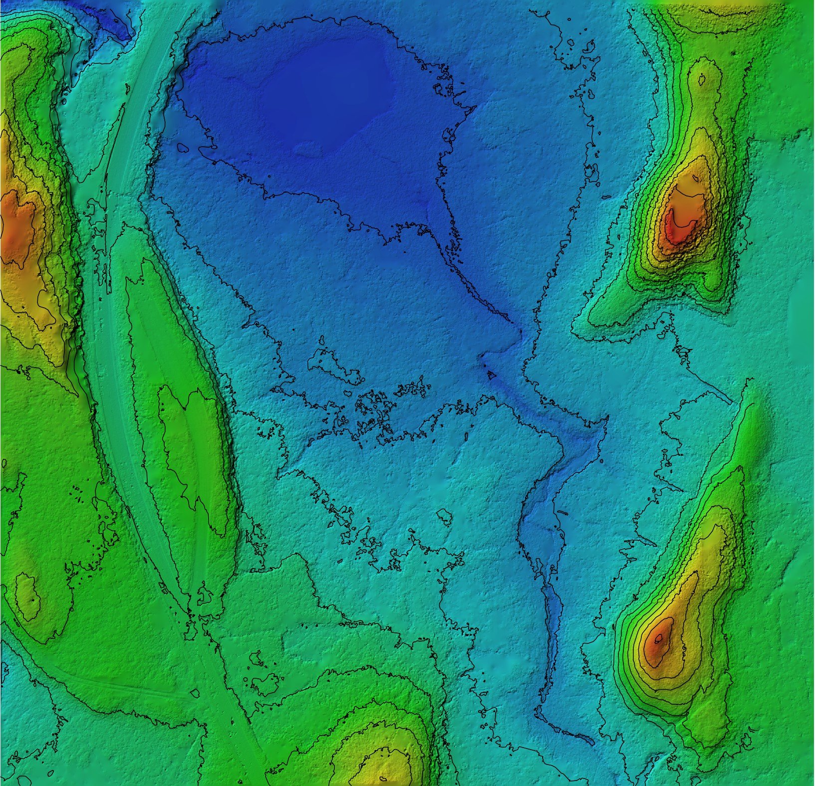
Our latest work saw us high up in the hills above Ballater, Commissioned by the Cairngorm National Park Authority to survey, map and model a very remote part of their estate, circa 300Ha for an upcoming Peatland Restoration project.
Sir Duncan Rice Library
Sir Duncan Rice Library. This stunning Architectural masterpiece is the main academic library for the University of Aberdeen.
Drones in the Construction Industry
Drones are a powerful tool for construction site safety because they can quickly and easily survey a site from above, providing valuable data that can help identify potential hazards and improve overall safety.
3d Modelling
Our drone technology, expertise, and commitment to accuracy make them an ideal choice for clients looking for a fast, cost-effective, and non-invasive way to create detailed 3D models of their assets.
Drones in the Oil and Gas Industry
The oil and gas industry is constantly looking for ways to improve efficiency and safety while reducing costs. Drones have emerged as a valuable tool in this industry, allowing for faster and safer inspections, surveys, and mapping. PB Aerial Imaging is a company that specializes in providing drone services to the oil and gas industry, offering a range of solutions to meet their clients’ needs.
Roof Inspections
PB Aerial Imaging can solve your commercial roof inspection problems by providing a safe, accurate, and cost-effective way to inspect your roof.
Why Peatland Restoration is so important
Peatlands are a unique and important ecosystem, covering approximately 3% of the earth's surface and containing approximately 30% of the world's soil carbon. However, due to factors such as agriculture, forestry, and mining, peatlands have been severely degraded, leading to negative impacts on the environment and climate change. Restoration of degraded peatlands is essential to mitigate these impacts and ensure the continued functioning of this ecosystem. The use of drones for peatland restoration has emerged as a promising approach to help in the restoration process.


